TABLE OF CONTENTS
1. Planning
Before setting off to our first proper 4WD roadtrip with Qadir, quite a bit of planning was needed. Due to over-civilization even in the mountainous Alps, finding nice tracks up and on top of the mountains can be quite challenging, without insider-knowledge. Fortunately for us, one of these insiders – Harald Denzel, born and bred in Austria – continues to update and publish a guide for offroad enthusiasts since 1956, providing them with detailed information for over 500 mountain streets, tracks, and places worth visiting. Along the road, I met quite a few offroaders and almost everyone had one of Denzel’s guides… they are famous and definately worth every penny!
About the book:
 GROSSER ALPEN STRASSEN FÜHRER
25th Edition (2012, Innsbruck, Austria)
by Harald Denzel (Denzel-Verlag Innsbruck)
hard cover (unfortunately not very robust – spiral binding would be better…)
Price: approx. 42 EUR
ISBN: 978-3-85047-772-7
Website: http://www.denzel-verlag.de/
In addition to “the Denzel”, detailed maps are needed, if a) no mobile internet for Google Maps (roaming!) or b) a really good offroad-ready GPS-system (expensive!) is available. Therefore I started my search for detailed maps, and man… these things are also not easy to come by in the 21st century, where everyone uses the internet to navigate from A to B. It was important for me to find a map with a good overview, but also sufficient detail to find my way along Denzel’s roads – some of which are very tricky too find… I ended up buying these maps:
for Austria/Liechtenstein:
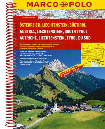 MARCO POLO Austria/Liechtenstein/South Tyrol/Europa
1:200.000 (the closer, the better… forget anything larger than 1:200.000!)
2nd Edition (january 2012)
by Mairdumont
spiral binding (proofed to be the best type of binding during the trip)
Price: approx. 12 EUR
ISBN: 978-3-8297-3719-7
for Switzerland:
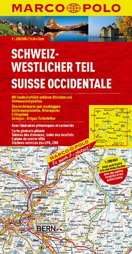 MARCO POLO Switzerland, western part
1:200.000
3rd Edition (octobre 2013)
by Mairdumont
classic paper map (not very handy and robust, but unfortunately the only reasonably-priced map with a decent resolution)
Price: approx. 9 EUR
ISBN: 978-3-8297-4017-3
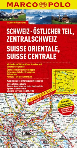 MARCO POLO Switzerland, eastern and center part
1:200.000
2nd Edition (octobre 2011)
by Mairdumont
classic paper map (not very handy and robust, but unfortunately the only reasonably-priced map with a decent resolution)
Price: approx. 9 EUR
ISBN: 978-3-8297-4018-0
for France:
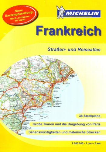 MICHELIN Atlas France (DIN A3)
1:200.000
1st Edition (6th december 2010)
spiral binding
Price: approx. 17 EUR
ISBN: 978-2-0671-5727-9
for Italy:
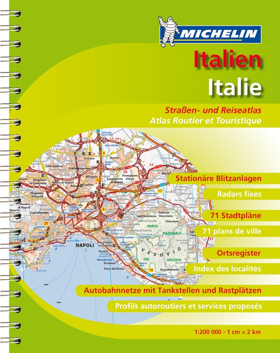 MICHELIN street- and travel atlas: Italy
1:200.000
1st Edition (february 2009)
spiral binding
price: approx. 17 EUR
ISBN-13: 978-2-0671-4284-8
2. Route
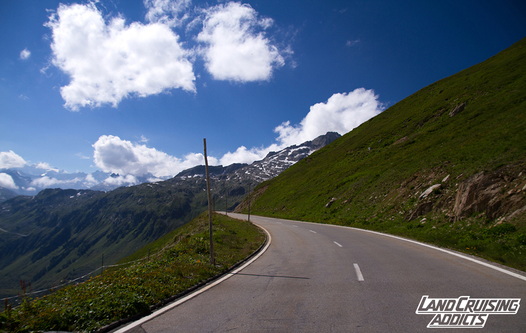
When planning our route we agreed that we would try to avoid as many motorways as possible. First of all, it is a lot nicer to drive at a slower speed, but more importantly we were on holidays and wanted to enjoy the route to our basecamp in Saint Nicholas la Chapelle in the Savoie region of western France. Our route was not the fastest, and also not the shortest, but it was a beautiful, scenic and relaxed drive with little traffic – absolutely perfect! Another aspect to consider are tolls on Austrian, Swiss, French, and Italian motorways… paying money to see hundret kilometers of concrete is not really our concept of holidays… 🙂
One tip about fuel prices: obviously they are ever-changing, but in 2013 fuel prices in France and Austria were significantly cheaper than in Liechtenstein, Switzerland and Italy. You can save a lot of money if you fuel up before crossing the border. We even bought two 20 litres steel jerry cans in order to increase our overall tank capacity from 90 to 130 litres – they will easily get you through for quite some time.
A good way of avoiding expensive surprises on the road is checking websites that compare fuel prices for e.g.:
– http://goo.gl/g3j0EI (euope-wide)
– http://goo.gl/kL2Lg0 (worldwide)
As you can see on the map below, the first bit of our route was on the German Autobahn from Fürth to Lindau. From then on we stuck to little roads – most of which we found in the “Denzel” (for more information about the Denzel, look above) Unfortunately the map does not show all the detours we took, because I was not using a GPS-tracker at the time and could not manually recreate every single bit of the road.
Denzel- and other side routes we took :
– #115: Furkajoch**, 1761 m. (Au – Rankweil, both Austria)
– #120: Malbun*, 1602 m. (Vaduz – Triesenberg, Liechtenstein)
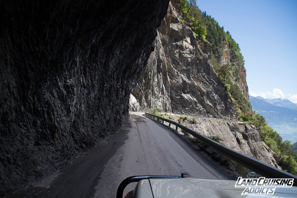
– Valser Hochtalstrasse: from Dormat/Elms (near Chur) we followed the road towards Bonaduz, then Versam and found a little side track on the left side of the road a little bit before the turn-off to Brün, where we found a perfect place to camp for the night. Next morning we continued westwards to Valendas where we left the main road to find the Valser Hochtalstrasse towards Riein and then Ilanz. Although there is a 5 CHF toll due in cash, it is definately worth seeing (see for yourself: pictures are below).
– #148: Oberalppass*, 2044 m. (Disentis – Andermatt, Switzerland)
– #149: Piz Calmut**, 2311 m. (at the Oberalppass you can do a little side trip up a dusty and rocky little track in the mountains above the Oberalpsee. Careful: hikers don’t like to see cars up here, so try not to annoy them any more than necessary (keep rpm low, no dusting due to fast driving, etc.)

– #160: Furkastraße***, 2431m. (Hospental – Gletsch, CH)
– #179: Saalstal**, 1790 m. (Visp – Saas Baalen)
– #180: Heimischgarten**, 2121 m.
Found a nice camp near the track #180, right on a ski slope (blue no. 7 – click here for the location) and stayed for the night with beautiful views on surrounding glaciers including famous Dom and Täschhorn. Careful, if you descend left, following the blue 7 (and don’t return to the track we came originally) you will end up on a paid parking place right next to the Saas-Grund BHAG ski-lift. This parking place has a barrier and you won’t have a ticket to get out. We found some friendly staff woman who issued a free ticket after some explaining, but you can not count on this happening all the time… If it doesn’t, you’ll have to pay the day fee, since you can not turn around and go back the way you came: it’s a one-way street… 😉
– #182: Moosalp***, 2048 m.
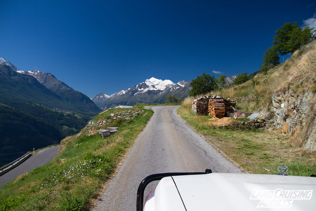
Instead of going back to VISP and continuing on the main road (E62) towards France we chose a beautiful detour via the Moosalp. If you are in the region, don’t miss it – it’s a beautiful drive with some spectacular views on some of the most famous peaks and glaciers in Switzerland.
After this beautiful detour we returned to the E62 and headed towards Sion, which is situated in hundreds of vineyards – yet again a wonderful setting. Before heading to Martigny and the French border we decided to take another detour and follow our guide north towards the #199: Lac de Deborance**, 1449 m. where you’ll find a beautiful yet freezing cold lake in the midst of stunning mountains. Take a book and pack snacks and drinks for a picnic – this is the perfect spot for that kind of thing.
Now it was time to cross the border. Fortunately the trip to France offered another two road-highlights before reaching Chamonic-Mt-Blanc (where you’ll find the first reasonably priced diesel for the first time after crossing Switzerland): #206: Col de la Forclaz**, 1527 m. and Col des Montets**, 1461 m. After Chamonix we took the main road through the valley towards Saint-Gervais, Megève and then Saint Nicholas la Chappelle.
3. Trips
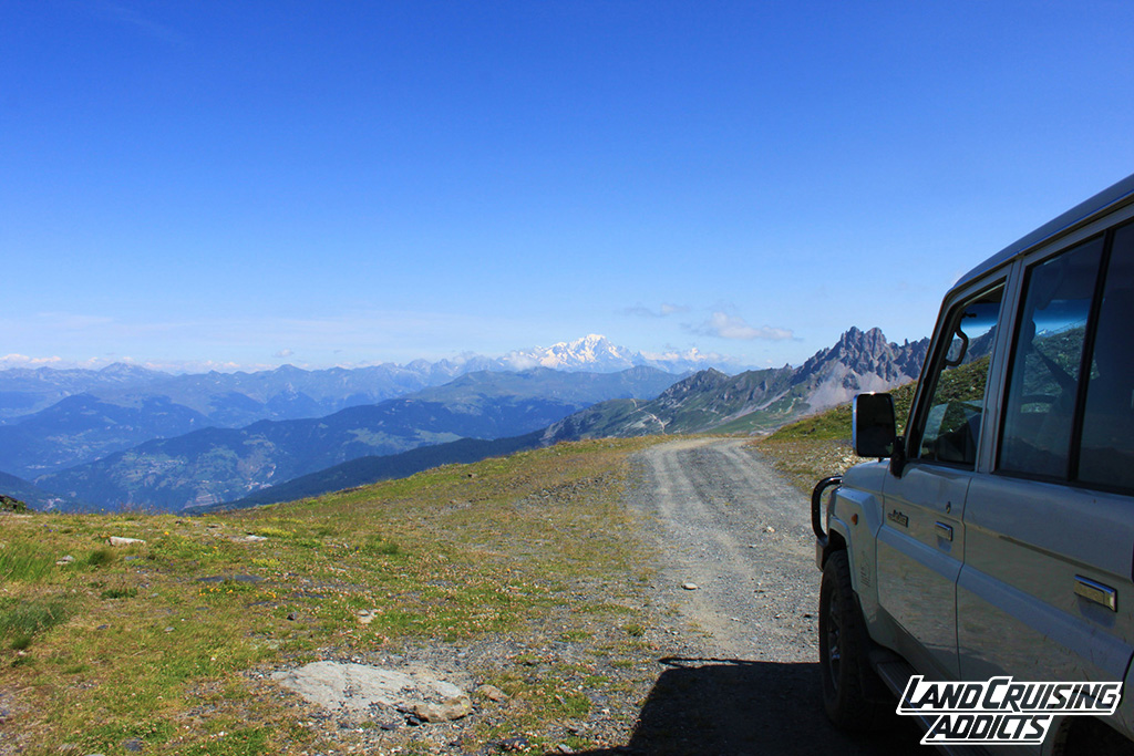
Saint Nicholas proved to be the perfect base for many trips in the region.
Day trips:
– #421: Col des Aravis*, 1486m. via Lac d’Annecy
– #422: Aravis-Track**, Col de l’Arpettaz, 1581 m.
– #424: Col du Joly*, 1989m
– #429: Col du Pré*, 1703m and Cormet d’Arêches*, 2109m via Lac des Fées (beautiful, calm, little lake)
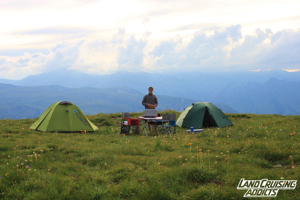
Camping trip:
Together with friends we set of for a camping trip through the western parts of the French and Italian alps. Our route took us from Saint Nic to Moûtiers via Albertville and then to #431: Vallée de Belleville, #433: Mont de la Chambre*, 2851 m. an Tougnete*, 2437 m. where we stayed during the night.


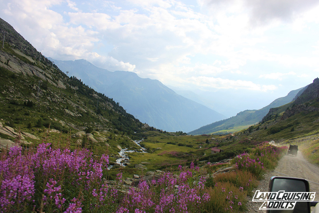
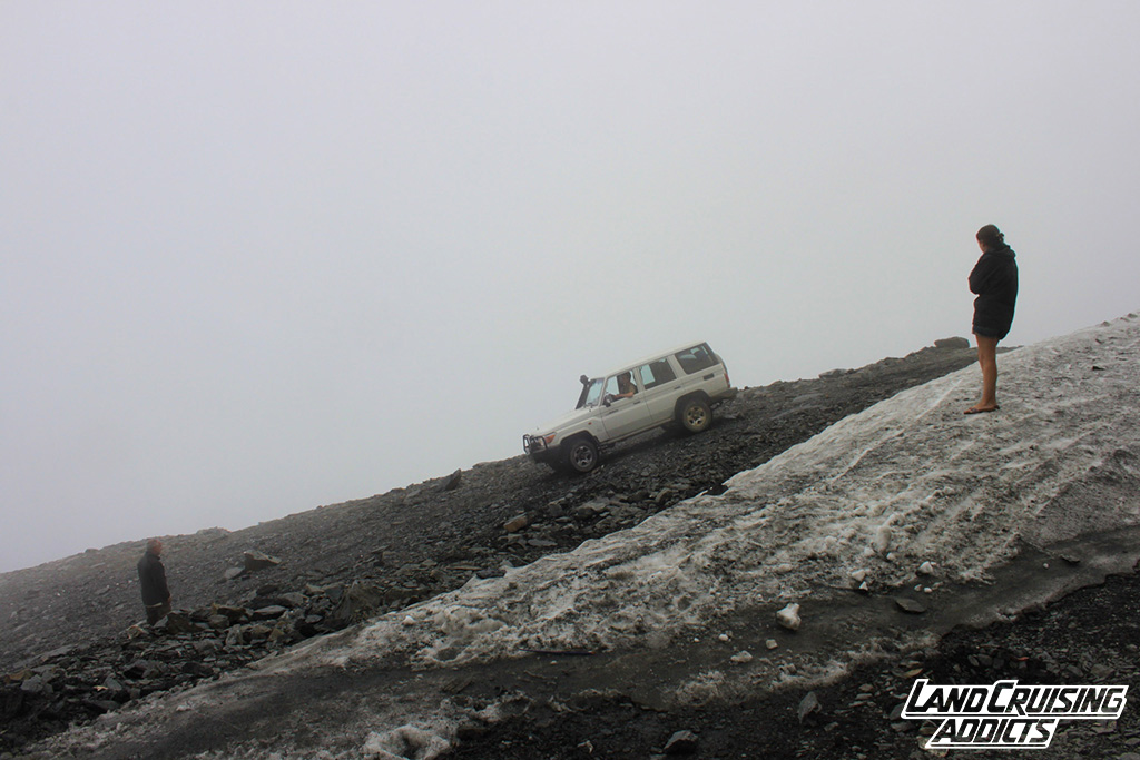
Further on we reached Val-Thorens, 2325m. where we had some trouble finding the starting point of route #445: Plan Bouchet, 2360 m. and Col Rosael**, 3000 m. This part, across the mountain to Francoz (southern side of the range) was quite an adventure, as it leads over the top of Col Rosael, which was (when we passed it) not only quite fresh (3000m!!) but also still partly covered in snow. We were enormously lucky to meet a group of German offroaders who helped us winch over the top, as the “normal track” was covered with icy, impassable snow (see video & pictures).
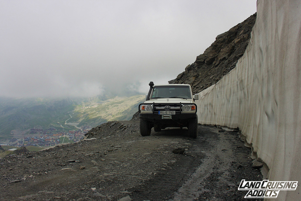
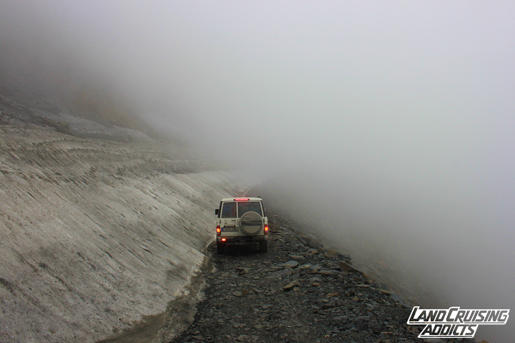
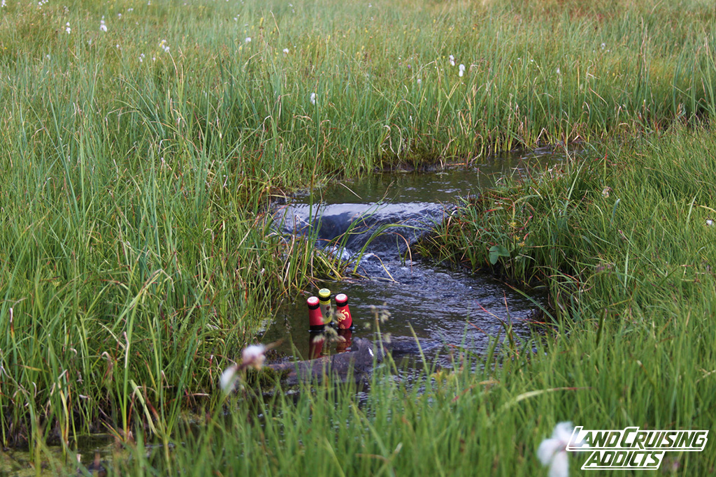
The southern side of the mountain proved to be a lot nicer than the northern one. Fresh green vegetation, beautiful flowers, and a stream flowing towards the valley made the drive down to our campsite a beautiful trip along the dusty road. Once we came to the bottom though we were surprised to find a closed and locked barrier. This was especially surprising, since the barrier on the northern side of the mountain was up, when we passed it. As it turned out, the “southern” barrier had been put up just for the day due to a mountain bike race. After waiting for some time, luckily for us some officials from the town came by and let us out – a bit reluctant, but anyway.
– #478:Col de Granon**, 2413m., GCol des Cibières* 2525 m., and Col de Cristol*, 2483
– #381: Colle Sommeiller***, 3009 m.
We were on the road again and now headed towards Bardonecchia, Italy – Colle Sommeiller to be precise. Half-way up the mountain we met a German couple coming down. They told us that the road was blocked by snow which made us turn around and camp a little bit further down – surrounded by impressive mountains, blessed with sunshine, a fresh stream and beautiful vegitation.
Next morning we decided that we were ready for a change and spontaneously decided to drive to the Italian coast for two days. Fortunately it was not a very long drive and we soon enjoyed the ocean, ice cream and best Italian weather.